Beinn a' Chlachair
- Height
- 1088m (3,569ft)
- Height rank
- 56 of 282
- Area
- Fort William
- Section
- Loch Treig to Loch Ericht
About Beinn a' Chlachair
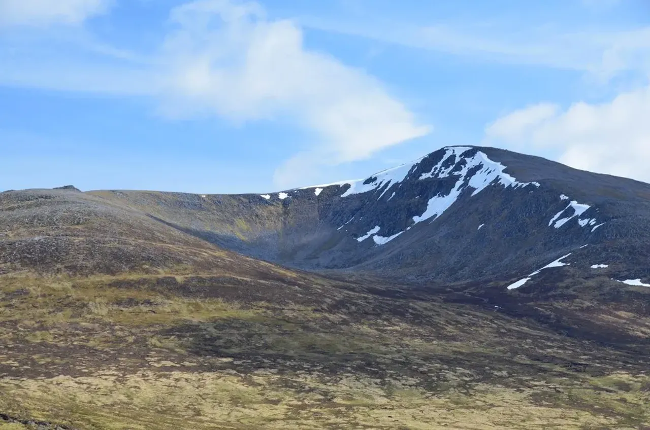
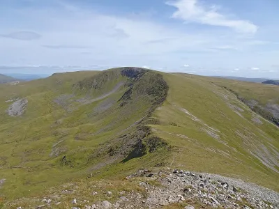
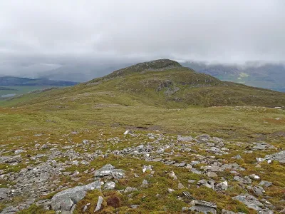
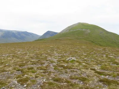
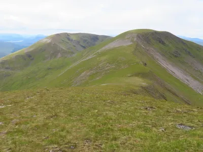
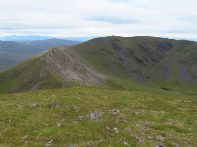
Beinn a' Chlachair stands as the tallest peak among a trio of Munros nestled within the Ardverikie Forest, just south of the picturesque Loch Laggan. One of its most striking characteristics is Coire Mòr a' Chlachair, a magnificent corrie that graces its northern slopes. The mountain boasts an expansive plateau, offering sweeping views, yet it presents an imposing barrier to the secluded An Lairig to the south. On all other sides, the terrain is notably steep, adding to the mountain's rugged allure.
Where is Beinn a' Chlachair?
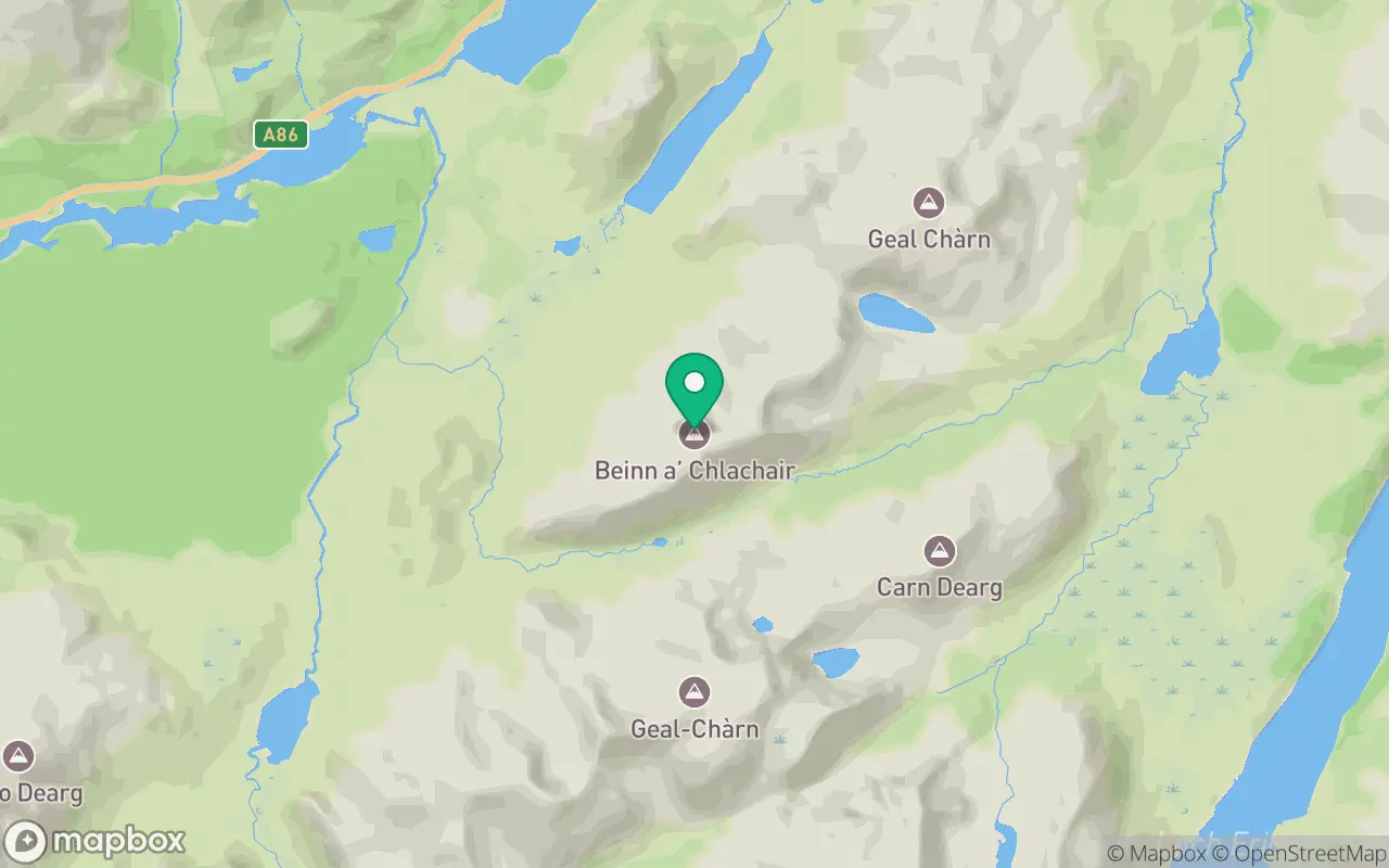
Beinn a' Chlachair sits in the Loch Treig to Loch Ericht region of Fort William at 56.8695°N, 4.5097°W.
Key facts
| Height | 1088 metres / 3,569 feet |
|---|---|
| Rank by height | 56 of 282 Munros |
| Coordinates | 56.86953, -4.50967 |
| Area | Fort William |
| SMC section | 04B: Loch Treig to Loch Ericht |
Plan your climb
Check the forecast and daylight before you go — the 282 app shows a 7-day summit forecast for Beinn a' Chlachair.
Commonly climbed with
Munros close to Beinn a' Chlachair that baggers often combine in a single day or trip.
Track Beinn a' Chlachair in the 282 app
Log your summits, see them all on the map, earn badges and share photos with fellow baggers. Free on iOS and Android.
Open in the app