
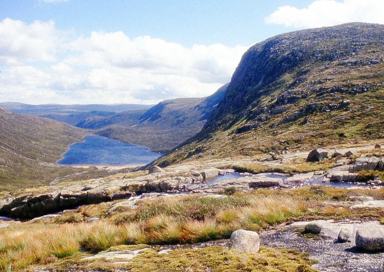
Carn an t-Sagairt Mor
- Height
- 1047m (3,435ft)
- Height rank
- 83 of 282
- Area
- Cairngorms
- Section
- Braemar to Montrose
About Carn an t-Sagairt Mor
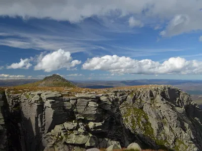
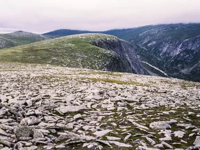
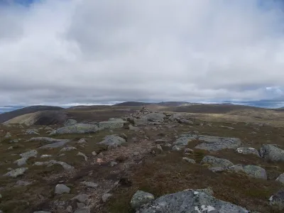
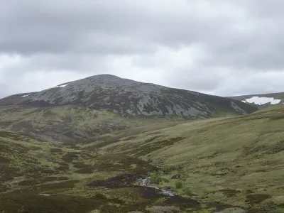
Càrn an t-Sagairt Mòr is situated on the expansive Mounth plateau, lying to the west of the renowned Lochnagar. The southern slopes of this munro are traversed by an ancient path that leads to the Lochnagar summit from Glen Callater, offering a historical route for hikers. The hill itself is characterized by its dome-like shape, and one of its most intriguing features is the scattered aircraft wreckage found to the north of the summit. This wreckage serves as a poignant reminder of the area's history and adds a unique point of interest for those who venture to its peak.
Where is Carn an t-Sagairt Mor?
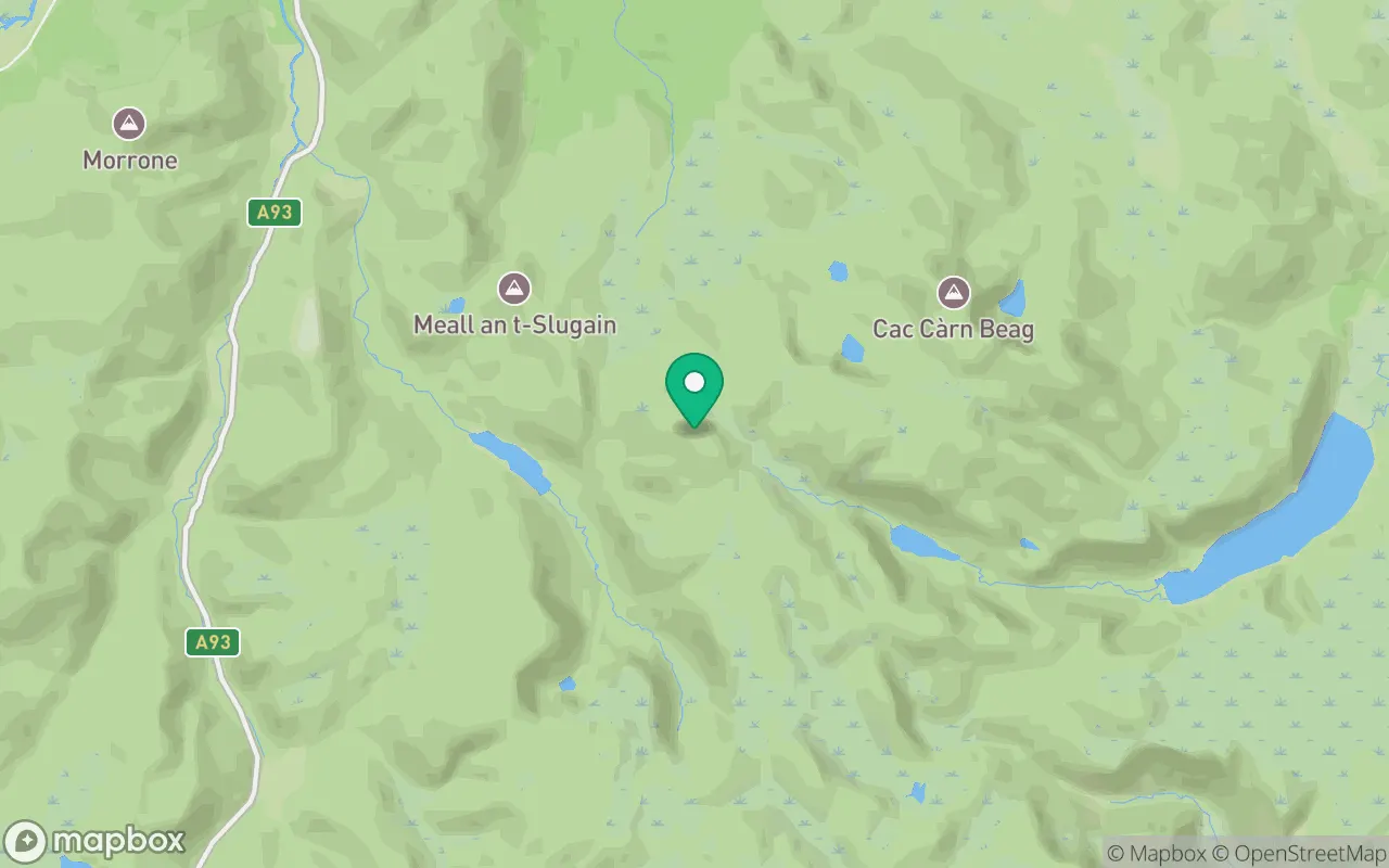
Carn an t-Sagairt Mor sits in the Braemar to Montrose region of Cairngorms at 56.9430°N, 3.3032°W.
Key facts
| Height | 1047 metres / 3,435 feet |
|---|---|
| Rank by height | 83 of 282 Munros |
| Coordinates | 56.94297, -3.30323 |
| Area | Cairngorms |
| SMC section | 07A: Braemar to Montrose |
Plan your climb
Check the forecast and daylight before you go — the 282 app shows a 7-day summit forecast for Carn an t-Sagairt Mor.
Commonly climbed with
Munros close to Carn an t-Sagairt Mor that baggers often combine in a single day or trip.

Track Carn an t-Sagairt Mor in the 282 app
Log your summits, see them all on the map, earn badges and share photos with fellow baggers. Free on iOS and Android.
Open in the app