Meall a' Bhuiridh
- Height
- 1108m (3,635ft)
- Height rank
- 45 of 282
- Area
- Fort William
- Section
- Glen Etive to Glen Lochy
About Meall a' Bhuiridh
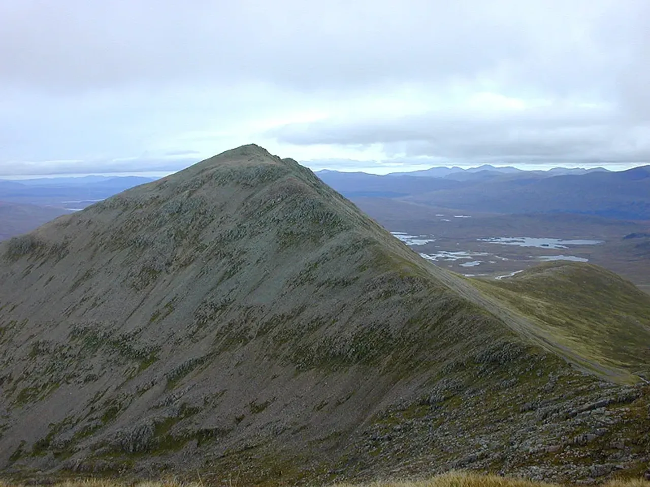
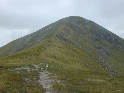
Meall a' Bhùiridh stands as the tallest peak within the Black Mount range, offering a commanding presence on the periphery of Rannoch Moor. This location provides hikers with breathtaking panoramic views that are truly unparalleled. While the ascent promises a sense of untamed wilderness, this feeling is somewhat diminished by the presence of ski-tows that extend nearly to the summit. Despite this, the journey to the top remains a rewarding experience, blending natural beauty with a touch of modern convenience.
Where is Meall a' Bhuiridh?
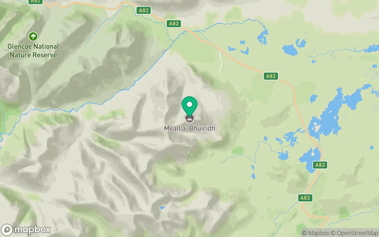
Meall a' Bhuiridh sits in the Glen Etive to Glen Lochy region of Fort William at 56.6122°N, 4.8522°W.
Key facts
| Height | 1108 metres / 3,635 feet |
|---|---|
| Rank by height | 45 of 282 Munros |
| Coordinates | 56.61222, -4.85216 |
| Area | Fort William |
| SMC section | 03C: Glen Etive to Glen Lochy |
Plan your climb
Check the forecast and daylight before you go — the 282 app shows a 7-day summit forecast for Meall a' Bhuiridh.
Commonly climbed with
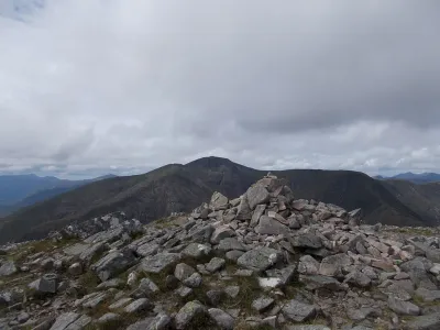
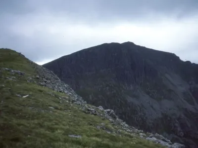
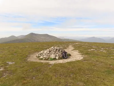
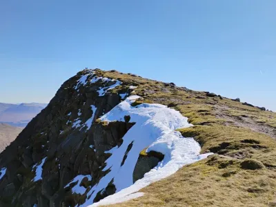
Munros close to Meall a' Bhuiridh that baggers often combine in a single day or trip.
Track Meall a' Bhuiridh in the 282 app
Log your summits, see them all on the map, earn badges and share photos with fellow baggers. Free on iOS and Android.
Open in the app