Sgurr a' Mhaim
- Height
- 1099m (3,606ft)
- Height rank
- 51 of 282
- Area
- Fort William
- Section
- Fort William to Loch Treig & Loch Leven
About Sgurr a' Mhaim
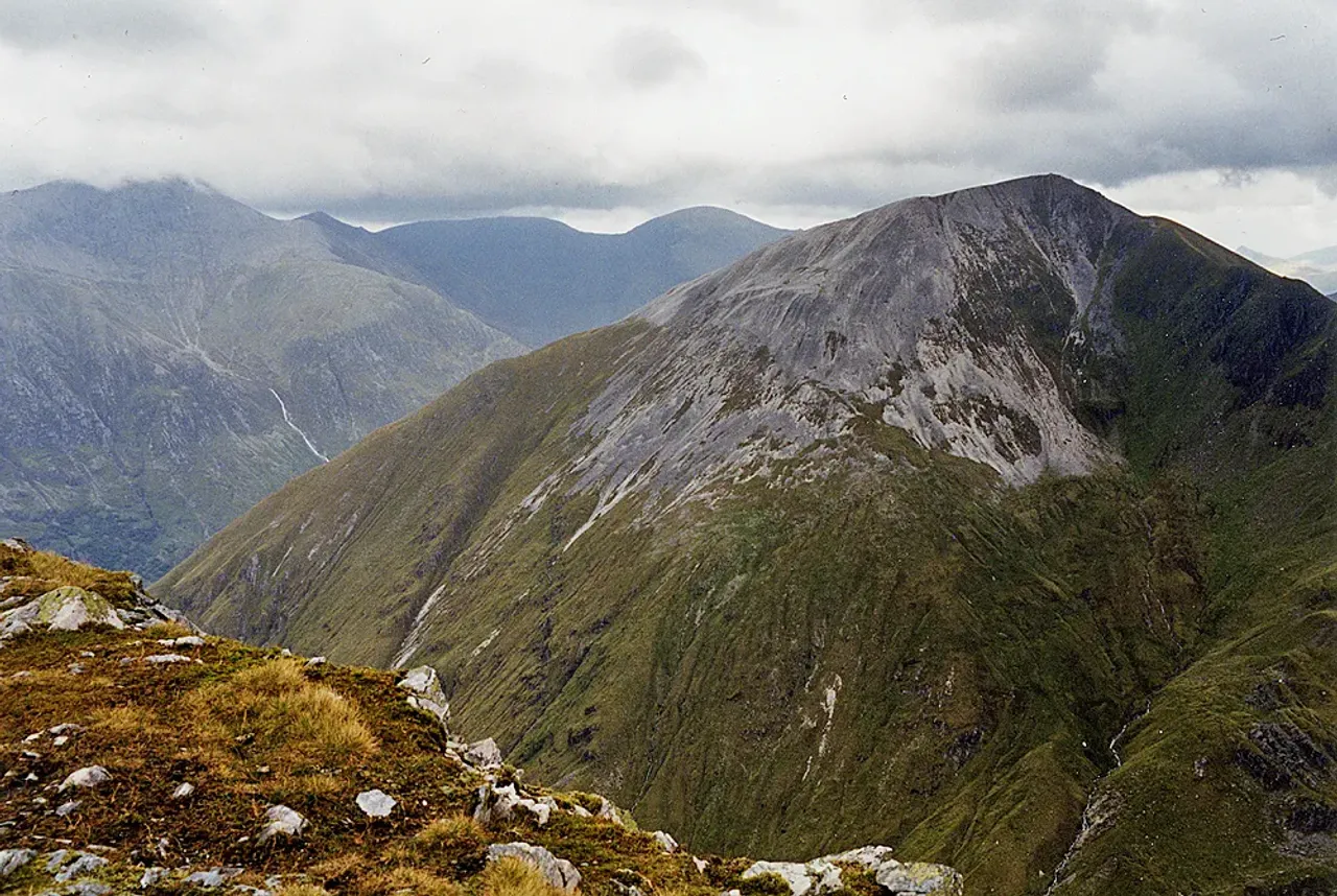
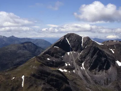
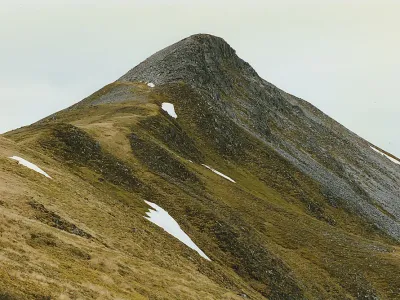
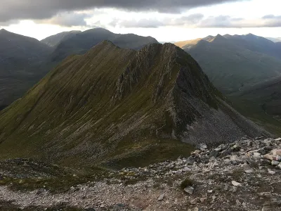
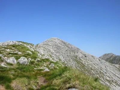
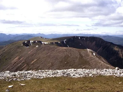
Sgùrr a' Mhàim stands prominently on a jutting spur to the north of the central Mamores ridge. Its summit, often cloaked in gleaming quartzite, can be mistaken for snow when viewed from Glen Nevis, especially under certain lighting conditions. The connection to the rest of the Mamores range is via the exhilarating and narrow 'Devil's Ridge,' which offers both a thrilling challenge and breathtaking views for those who traverse it.
Where is Sgurr a' Mhaim?
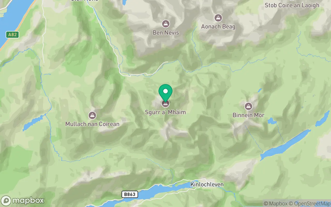
Sgurr a' Mhaim sits in the Fort William to Loch Treig & Loch Leven region of Fort William at 56.7559°N, 5.0037°W.
Key facts
| Height | 1099 metres / 3,606 feet |
|---|---|
| Rank by height | 51 of 282 Munros |
| Coordinates | 56.75592, -5.00369 |
| Area | Fort William |
| SMC section | 04A: Fort William to Loch Treig & Loch Leven |
Plan your climb
Check the forecast and daylight before you go — the 282 app shows a 7-day summit forecast for Sgurr a' Mhaim.
Commonly climbed with
Munros close to Sgurr a' Mhaim that baggers often combine in a single day or trip.
Track Sgurr a' Mhaim in the 282 app
Log your summits, see them all on the map, earn badges and share photos with fellow baggers. Free on iOS and Android.
Open in the app