An Stuc
- Height
- 1117m (3,665ft)
- Height rank
- 35 of 282
- Area
- Perthshire
- Section
- Glen Lyon to Glen Dochart & Loch Tay
About An Stuc
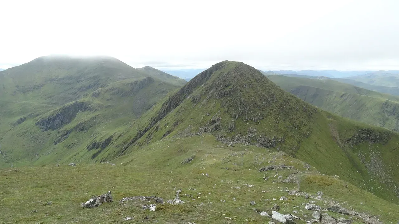
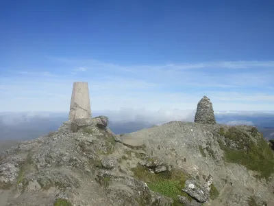
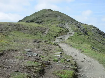
An Stùc, which gained Munro status in 1997, stands out as the most precipitous and jagged peak within the Ben Lawers range. This formidable mountain presents a particularly challenging climb, especially when approached from Meall Garbh. The ascent is characterized by its extreme steepness, exposure, and loose terrain, demanding both caution and determination from those who dare to tackle it. The rugged path and dramatic inclines make An Stùc a memorable and exhilarating experience for seasoned hikers.
Where is An Stuc?
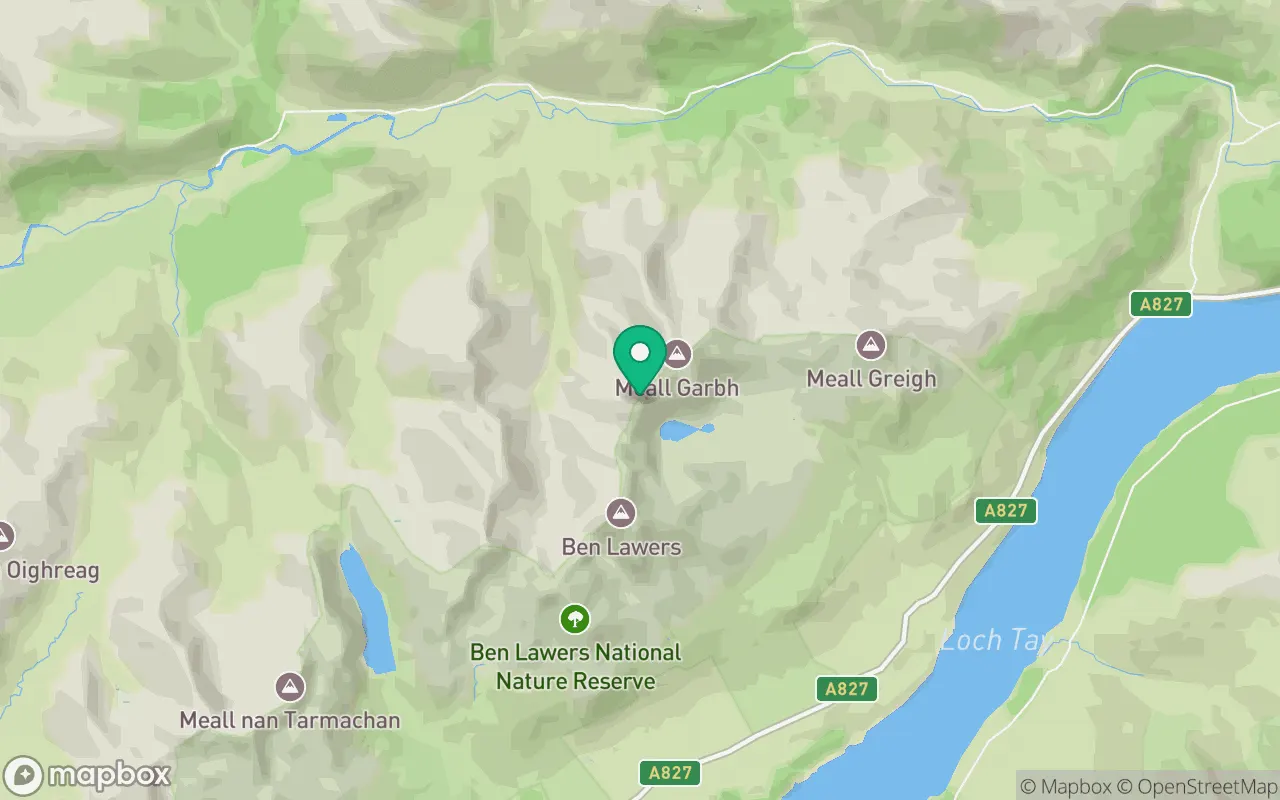
An Stuc sits in the Glen Lyon to Glen Dochart & Loch Tay region of Perthshire at 56.5601°N, 4.2162°W.
Key facts
| Height | 1117 metres / 3,665 feet |
|---|---|
| Rank by height | 35 of 282 Munros |
| Coordinates | 56.56008, -4.21625 |
| Area | Perthshire |
| SMC section | 02B: Glen Lyon to Glen Dochart & Loch Tay |
Plan your climb
Check the forecast and daylight before you go — the 282 app shows a 7-day summit forecast for An Stuc.
Commonly climbed with
Munros close to An Stuc that baggers often combine in a single day or trip.
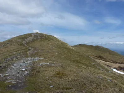
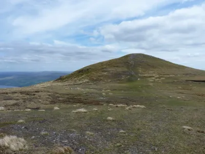
_-_View_towards_An_Stuc_-_geograph.org.uk_-_5612611.jpg)
Track An Stuc in the 282 app
Log your summits, see them all on the map, earn badges and share photos with fellow baggers. Free on iOS and Android.
Open in the app