Meall Greigh
- Height
- 1001m (3,284ft)
- Height rank
- 135 of 282
- Area
- Perthshire
- Section
- Glen Lyon to Glen Dochart & Loch Tay
About Meall Greigh
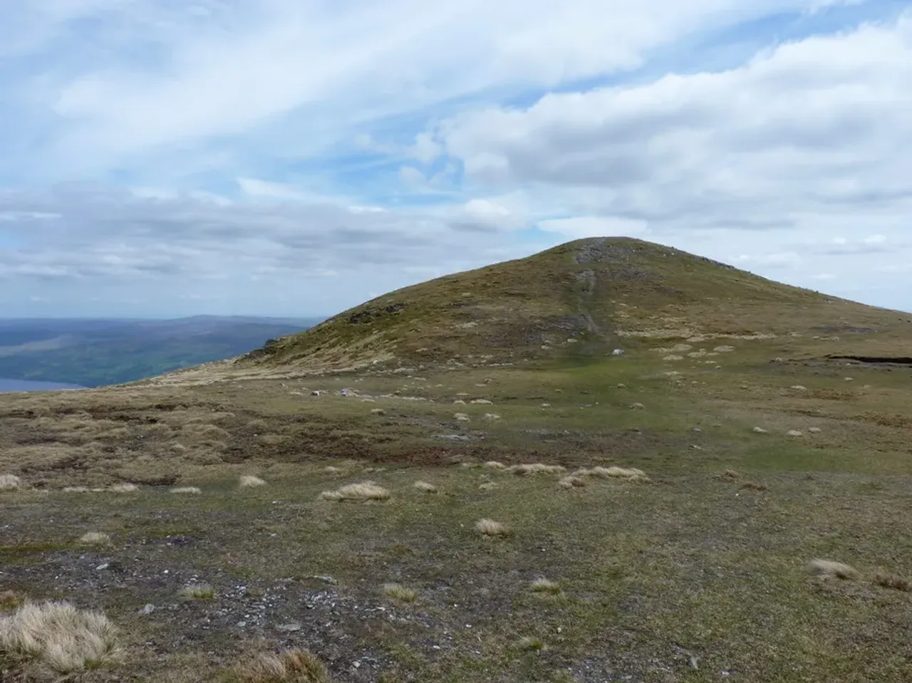
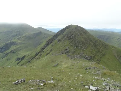
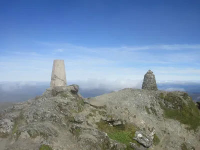
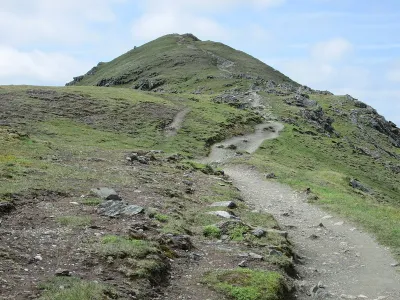
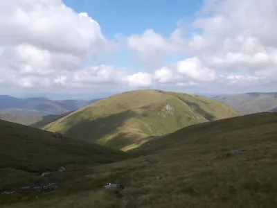
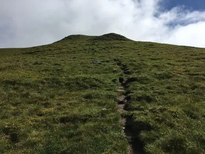
Meall Greigh, the easternmost peak in the Lawers range, presents a somewhat unremarkable and expansive profile. Often, hikers will traverse this mountain on their way to the more prominent Meall Garbh. Despite its less distinctive shape, Meall Greigh offers hikers the reward of sweeping, unobstructed views, as there are no higher summits to the east to block the panorama. The extensive vistas make the journey worthwhile, providing a serene and expansive outlook over the surrounding landscape.
Where is Meall Greigh?
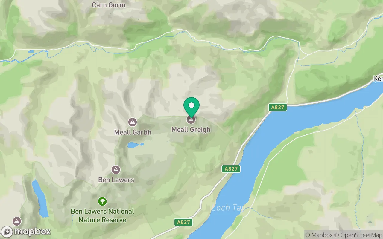
Meall Greigh sits in the Glen Lyon to Glen Dochart & Loch Tay region of Perthshire at 56.5674°N, 4.1596°W.
Key facts
| Height | 1001 metres / 3,284 feet |
|---|---|
| Rank by height | 135 of 282 Munros |
| Coordinates | 56.56742, -4.15956 |
| Area | Perthshire |
| SMC section | 02B: Glen Lyon to Glen Dochart & Loch Tay |
Plan your climb
Check the forecast and daylight before you go — the 282 app shows a 7-day summit forecast for Meall Greigh.
Commonly climbed with
Munros close to Meall Greigh that baggers often combine in a single day or trip.
Track Meall Greigh in the 282 app
Log your summits, see them all on the map, earn badges and share photos with fellow baggers. Free on iOS and Android.
Open in the app