Maoile Lunndaidh
- Height
- 1005m (3,297ft)
- Height rank
- 128 of 282
- Area
- Torridon
- Section
- Kyle of Lochalsh to Garve
About Maoile Lunndaidh
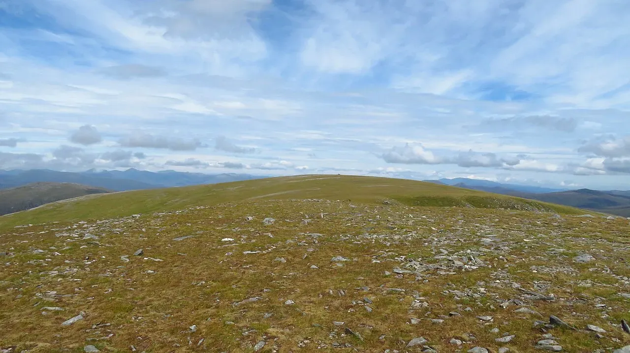
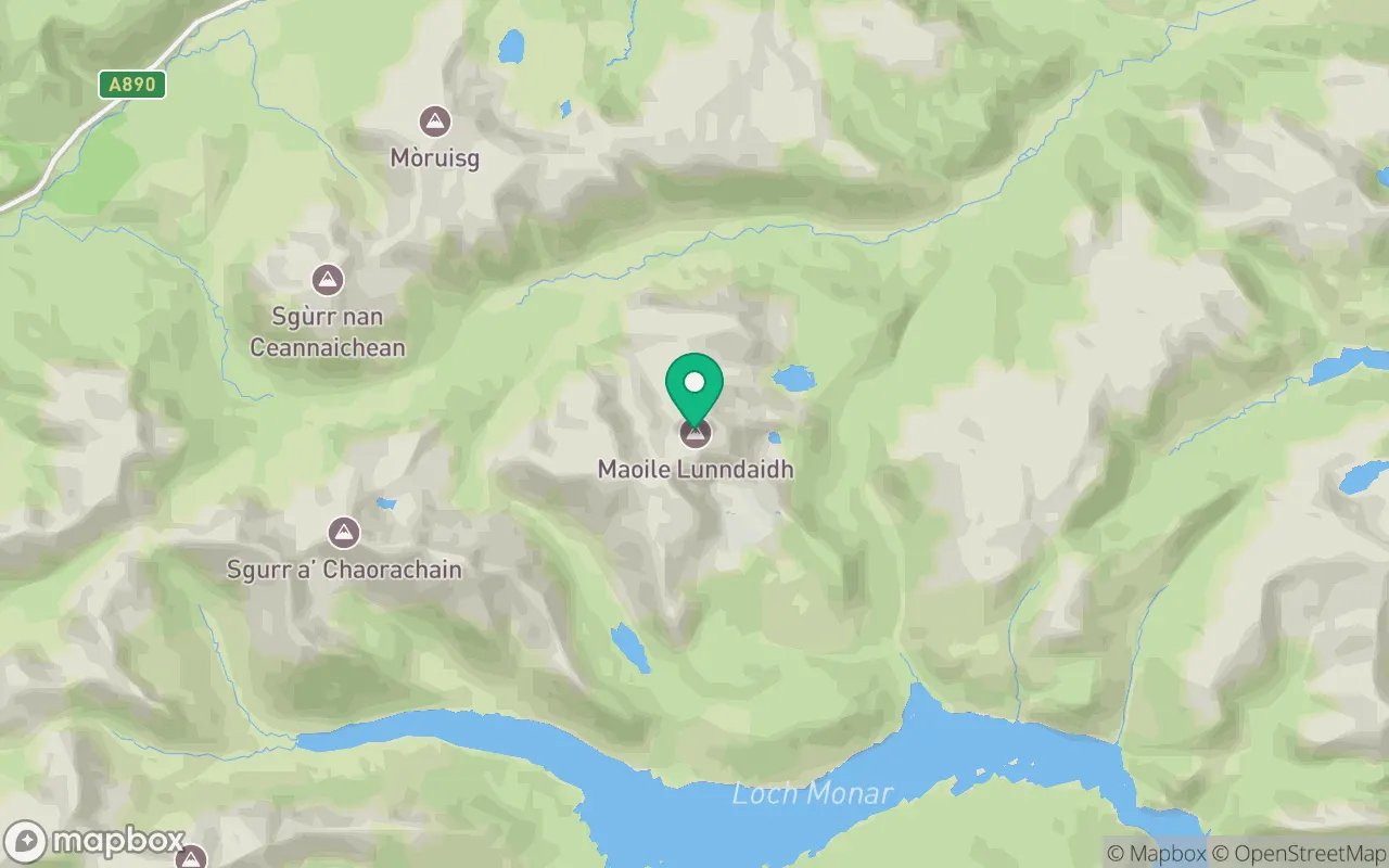
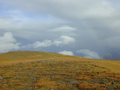
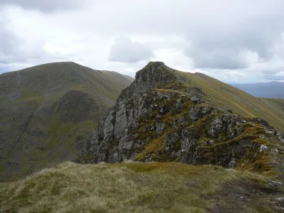
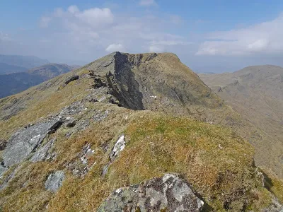
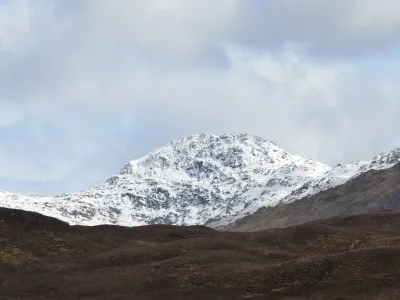
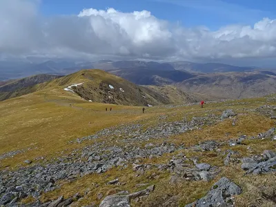
Maoile Lunndaidh is an exceptionally secluded mountain located at the head of Loch Monar, though the most common ascent route begins from Glencarron. This mountain features an expansive plateau adorned with several steep and dramatic corries. Recently, Creag Toll a' Choin has been re-evaluated and identified as the highest summit of the mountain. However, the route recommended by Walkhighlands traverses both summits, offering a comprehensive exploration of this remote and rugged landscape.
Where is Maoile Lunndaidh?
Maoile Lunndaidh sits in the Kyle of Lochalsh to Garve region of Torridon at 57.4645°N, 5.1110°W.
Key facts
| Height | 1005 metres / 3,297 feet |
|---|---|
| Rank by height | 128 of 282 Munros |
| Coordinates | 57.46448, -5.11100 |
| Area | Torridon |
| SMC section | 12A: Kyle of Lochalsh to Garve |
Plan your climb
Check the forecast and daylight before you go — the 282 app shows a 7-day summit forecast for Maoile Lunndaidh.
Commonly climbed with
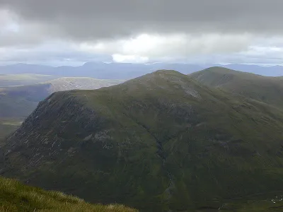
Munros close to Maoile Lunndaidh that baggers often combine in a single day or trip.
_-_geograph.org.uk_-_7936239.jpg)
Track Maoile Lunndaidh in the 282 app
Log your summits, see them all on the map, earn badges and share photos with fellow baggers. Free on iOS and Android.
Open in the app