Sgurr Choinnich
- Height
- 999m (3,279ft)
- Height rank
- 139 of 282
- Area
- Torridon
- Section
- Kyle of Lochalsh to Garve
About Sgurr Choinnich
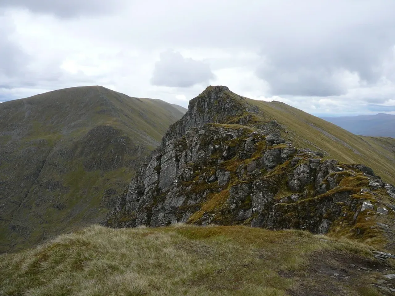
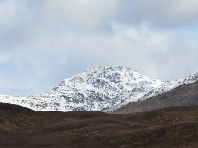
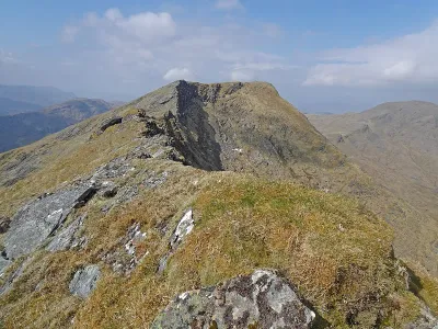
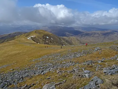
Sgùrr Chòinnich is frequently climbed in tandem with its loftier companion, Sgùrr a' Chaorachain. Although Sgùrr Chòinnich stands at a slightly lower elevation, it is often considered the more striking of the two peaks. Its summit ridge is gracefully adorned with numerous crags, adding to its rugged charm and making it a favorite among hikers. The ascent offers a rewarding experience with breathtaking views and a sense of accomplishment as you navigate its impressive terrain.
Where is Sgurr Choinnich?
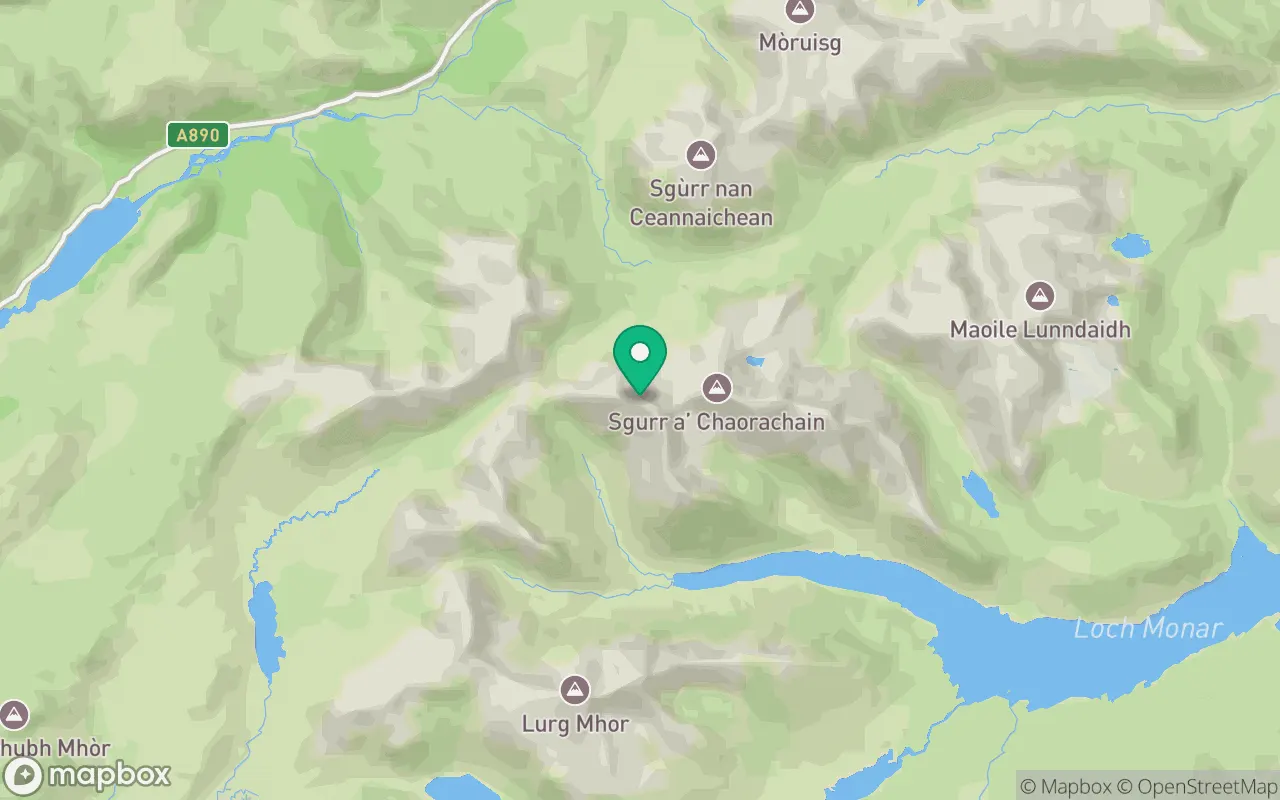
Sgurr Choinnich sits in the Kyle of Lochalsh to Garve region of Torridon at 57.4510°N, 5.2079°W.
Key facts
| Height | 999 metres / 3,279 feet |
|---|---|
| Rank by height | 139 of 282 Munros |
| Coordinates | 57.45103, -5.20792 |
| Area | Torridon |
| SMC section | 12A: Kyle of Lochalsh to Garve |
Plan your climb
Check the forecast and daylight before you go — the 282 app shows a 7-day summit forecast for Sgurr Choinnich.
Commonly climbed with
Munros close to Sgurr Choinnich that baggers often combine in a single day or trip.
Track Sgurr Choinnich in the 282 app
Log your summits, see them all on the map, earn badges and share photos with fellow baggers. Free on iOS and Android.
Open in the app