Sgurr a' Ghreadaidh
- Height
- 972m (3,189ft)
- Height rank
- 185 of 282
- Area
- Islands
- Section
- Minginish and the Cuillin Hills
About Sgurr a' Ghreadaidh
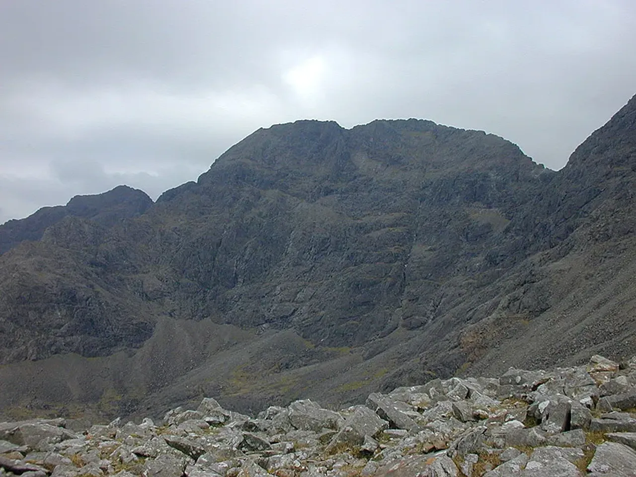
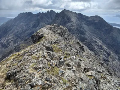
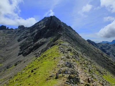
Sgùrr a' Ghreadaidh stands as the tallest peak in the central section of the Cuillin ridge, offering a challenging and exhilarating experience for climbers. This majestic mountain boasts two distinct summits, divided by an incredibly narrow arete, reputed to be the sharpest in the British Isles. The true summit is the northern peak, which is most commonly accessed through a demanding scramble up An Dorus. However, there are alternative routes available for those seeking a different approach, as detailed in our comprehensive guide. This mountain promises not only a test of skill but also breathtaking views and a sense of accomplishment for those who reach its heights.
Where is Sgurr a' Ghreadaidh?
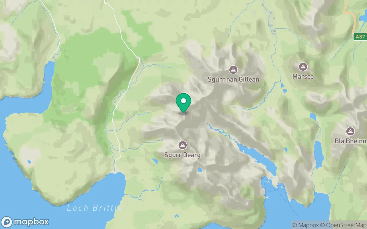
Sgurr a' Ghreadaidh sits in the Minginish and the Cuillin Hills region of Islands at 57.2273°N, 6.2344°W.
Key facts
| Height | 972 metres / 3,189 feet |
|---|---|
| Rank by height | 185 of 282 Munros |
| Coordinates | 57.22731, -6.23442 |
| Area | Islands |
| SMC section | 17B: Minginish and the Cuillin Hills |
Plan your climb
Check the forecast and daylight before you go — the 282 app shows a 7-day summit forecast for Sgurr a' Ghreadaidh.
Commonly climbed with
Munros close to Sgurr a' Ghreadaidh that baggers often combine in a single day or trip.
Track Sgurr a' Ghreadaidh in the 282 app
Log your summits, see them all on the map, earn badges and share photos with fellow baggers. Free on iOS and Android.
Open in the app