Sgurr a' Mhadaidh
- Height
- 918m (3,012ft)
- Height rank
- 274 of 282
- Area
- Islands
- Section
- Minginish and the Cuillin Hills
About Sgurr a' Mhadaidh
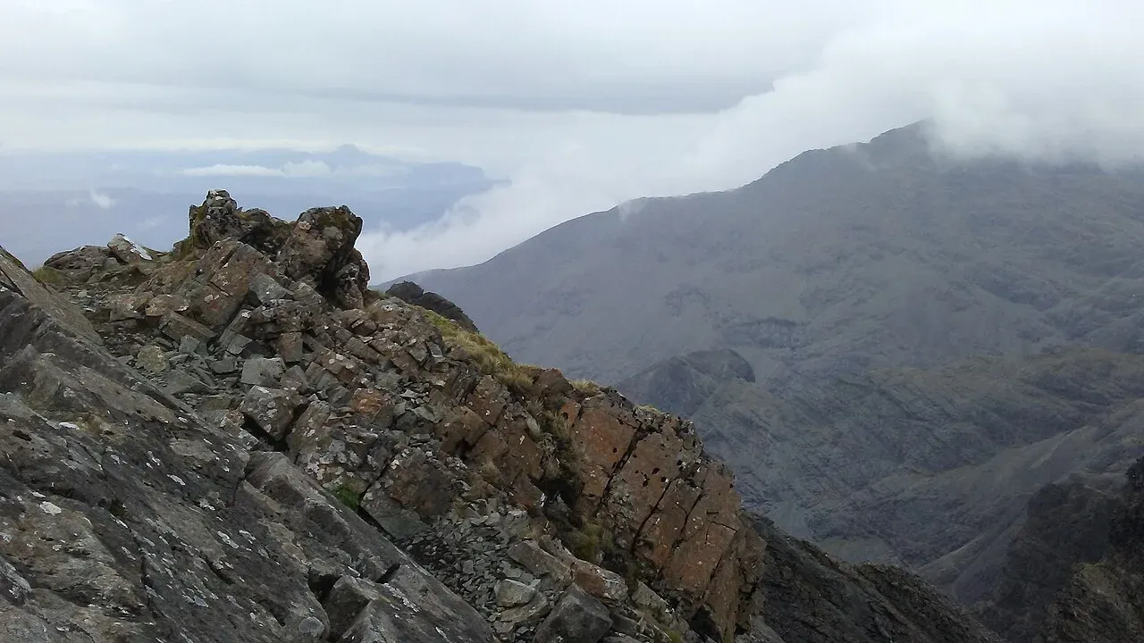
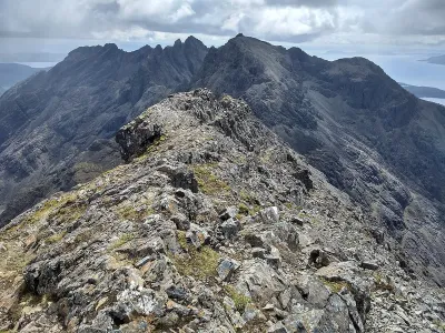
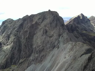
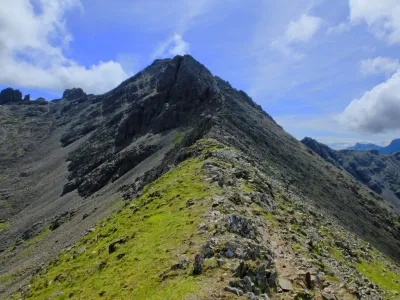
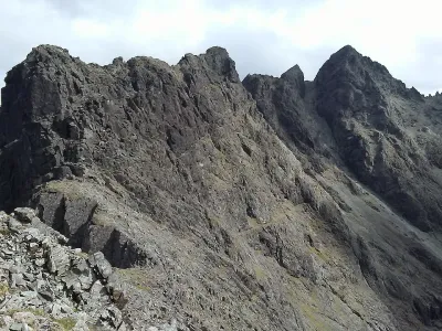
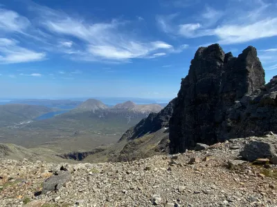
Sgùrr a' Mhadaidh boasts four distinct summits along one of the more challenging stretches of the Cuillin Ridge. Among these, the highest peak stands out as the sole Munro and is unique in that it can be reached without the need for technical rock-climbing skills. The most common route to the summit is through An Dorus, a notable gap in the ridge. However, for those seeking a less demanding climb, there is an alternative path that diverges from the gully before arriving at the bealach, offering a slightly easier ascent. This mountain provides a rewarding experience for those who venture its rugged terrain, with breathtaking views and a sense of accomplishment upon reaching the top.
Where is Sgurr a' Mhadaidh?
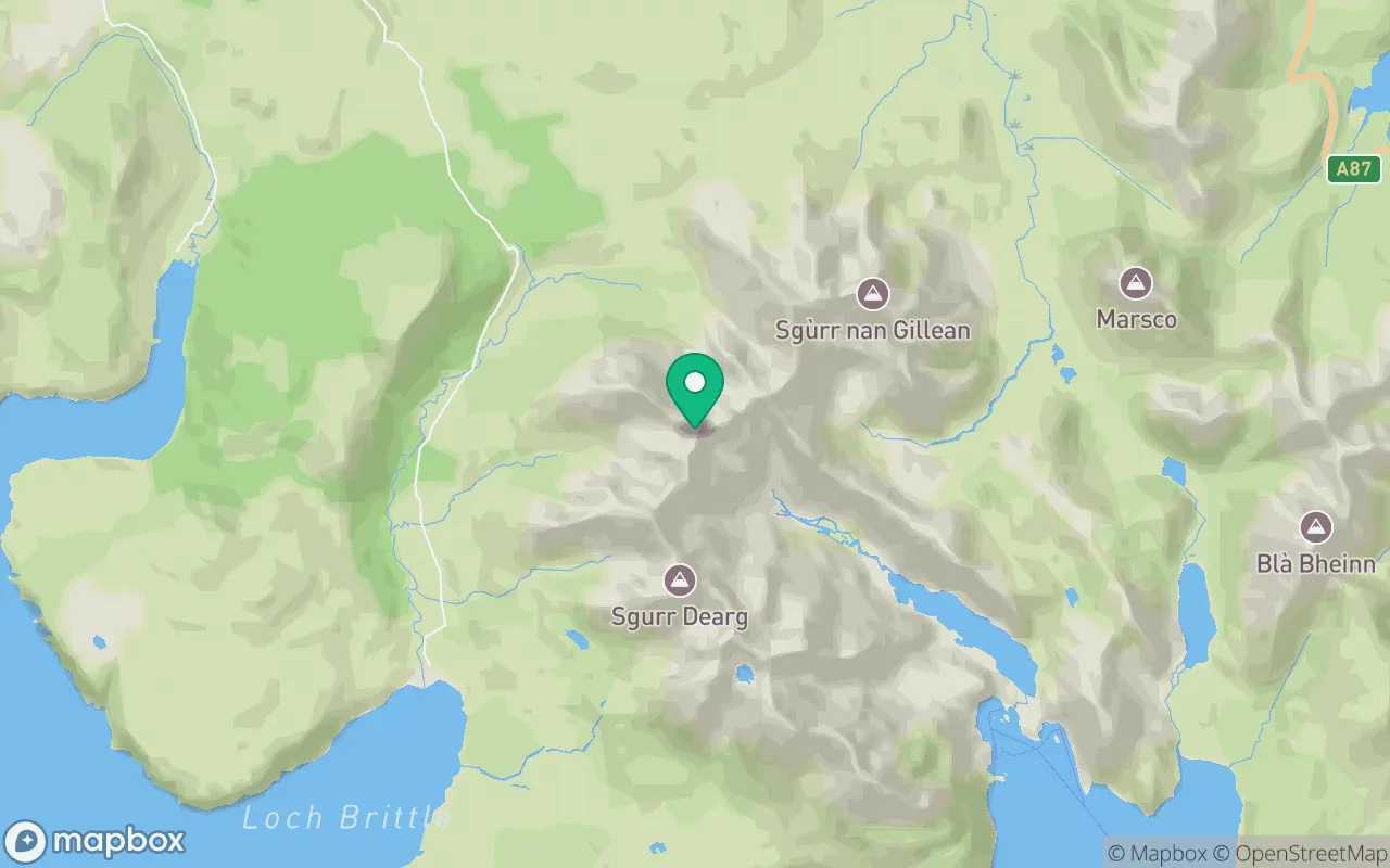
Sgurr a' Mhadaidh sits in the Minginish and the Cuillin Hills region of Islands at 57.2309°N, 6.2319°W.
Key facts
| Height | 918 metres / 3,012 feet |
|---|---|
| Rank by height | 274 of 282 Munros |
| Coordinates | 57.23087, -6.23193 |
| Area | Islands |
| SMC section | 17B: Minginish and the Cuillin Hills |
Plan your climb
Check the forecast and daylight before you go — the 282 app shows a 7-day summit forecast for Sgurr a' Mhadaidh.
Commonly climbed with
Munros close to Sgurr a' Mhadaidh that baggers often combine in a single day or trip.

Track Sgurr a' Mhadaidh in the 282 app
Log your summits, see them all on the map, earn badges and share photos with fellow baggers. Free on iOS and Android.
Open in the app