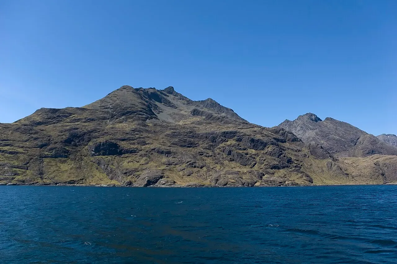
Sgurr nan Eag
- Height
- 926m (3,039ft)
- Height rank
- 259 of 282
- Area
- Islands
- Section
- Minginish and the Cuillin Hills
About Sgurr nan Eag
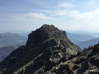
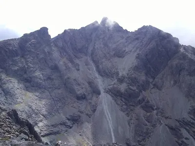
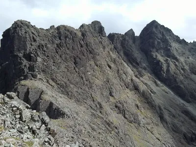
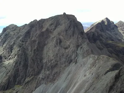
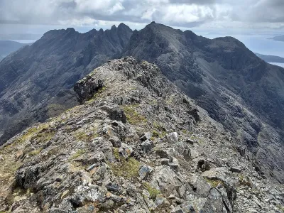
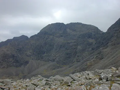
Sgùrr nan Eag, the southernmost summit in the Cuillin range, offers a relatively straightforward ridge walk, though it still demands some scrambling expertise. This part of the ridge extends out to the final peak, Gars-bheinn, and its elevated position above the sea provides breathtaking panoramic views. The journey along this ridge is not only a test of your mountaineering skills but also a feast for the eyes, with the dramatic landscape unfolding beneath you.
Where is Sgurr nan Eag?
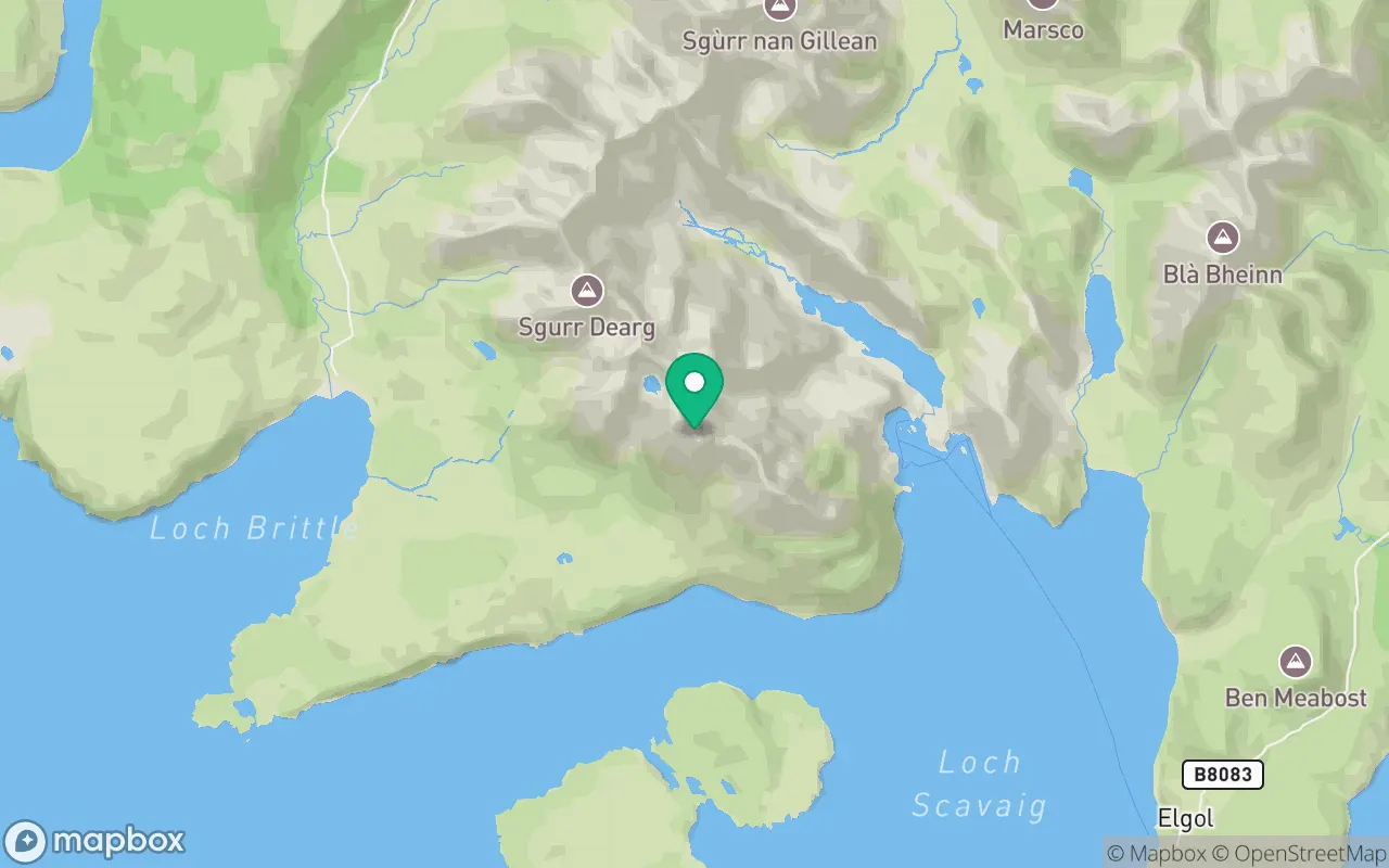
Sgurr nan Eag sits in the Minginish and the Cuillin Hills region of Islands at 57.1958°N, 6.2113°W.
Key facts
| Height | 926 metres / 3,039 feet |
|---|---|
| Rank by height | 259 of 282 Munros |
| Coordinates | 57.19581, -6.21126 |
| Area | Islands |
| SMC section | 17B: Minginish and the Cuillin Hills |
Plan your climb
Check the forecast and daylight before you go — the 282 app shows a 7-day summit forecast for Sgurr nan Eag.
Commonly climbed with
Munros close to Sgurr nan Eag that baggers often combine in a single day or trip.

Track Sgurr nan Eag in the 282 app
Log your summits, see them all on the map, earn badges and share photos with fellow baggers. Free on iOS and Android.
Open in the app