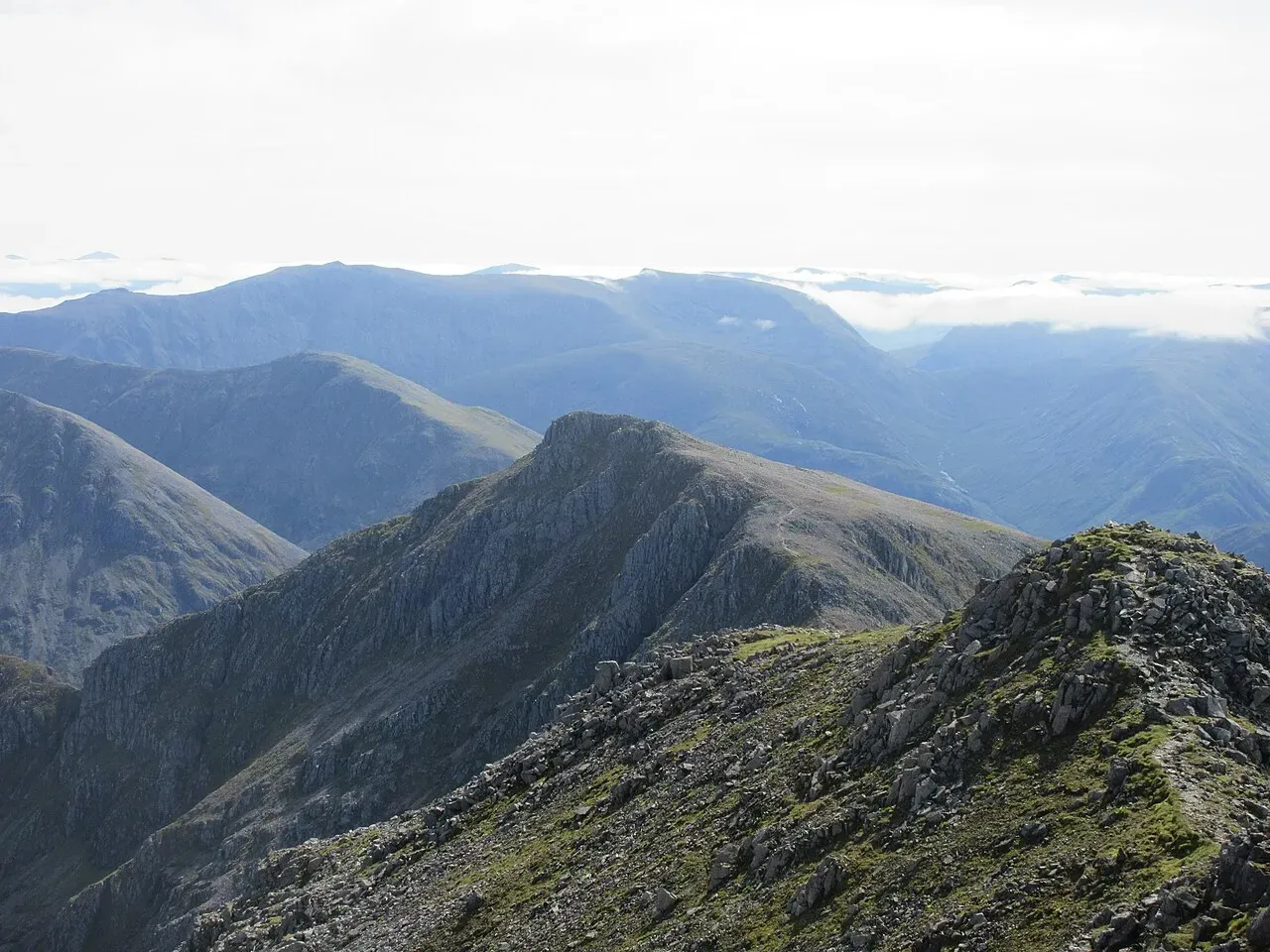
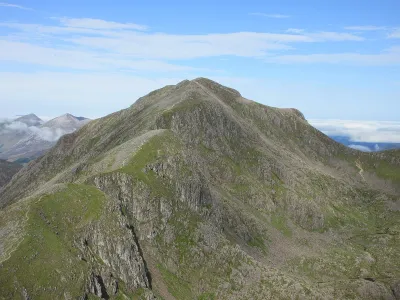
Stob Coire Sgreamhach
- Height
- 1072m (3,517ft)
- Height rank
- 65 of 282
- Area
- Fort William
- Section
- Loch Linnhe to Loch Etive
About Stob Coire Sgreamhach
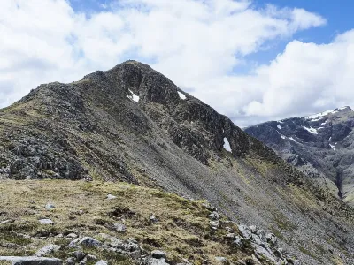
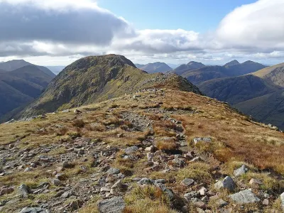
Stob Coire Sgreamhach, officially recognized as a Munro in 1997, is intrinsically linked to the Bidean nam Bian massif. This impressive peak is strategically located at the junction where the Beinn Fhada ridge converges with the primary ridge that spans the rear of Bidean. The terrain of Beinn Fhada is notably challenging, especially when descending, making it a test of skill and endurance. Most climbers opt for the route through the Lost Valley, which entails a demanding and steep ascent up eroded scree slopes. This path, while arduous, offers a rewarding experience for those who tackle its rugged landscape.
Where is Stob Coire Sgreamhach?
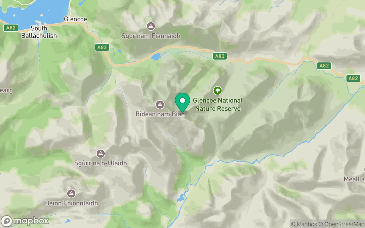
Stob Coire Sgreamhach sits in the Loch Linnhe to Loch Etive region of Fort William at 56.6383°N, 5.0103°W.
Key facts
| Height | 1072 metres / 3,517 feet |
|---|---|
| Rank by height | 65 of 282 Munros |
| Coordinates | 56.63831, -5.01028 |
| Area | Fort William |
| SMC section | 03B: Loch Linnhe to Loch Etive |
Plan your climb
Check the forecast and daylight before you go — the 282 app shows a 7-day summit forecast for Stob Coire Sgreamhach.
Commonly climbed with
Munros close to Stob Coire Sgreamhach that baggers often combine in a single day or trip.

Track Stob Coire Sgreamhach in the 282 app
Log your summits, see them all on the map, earn badges and share photos with fellow baggers. Free on iOS and Android.
Open in the app