Stob na Broige
- Height
- 953m (3,128ft)
- Height rank
- 210 of 282
- Area
- Fort William
- Section
- Loch Linnhe to Loch Etive
About Stob na Broige
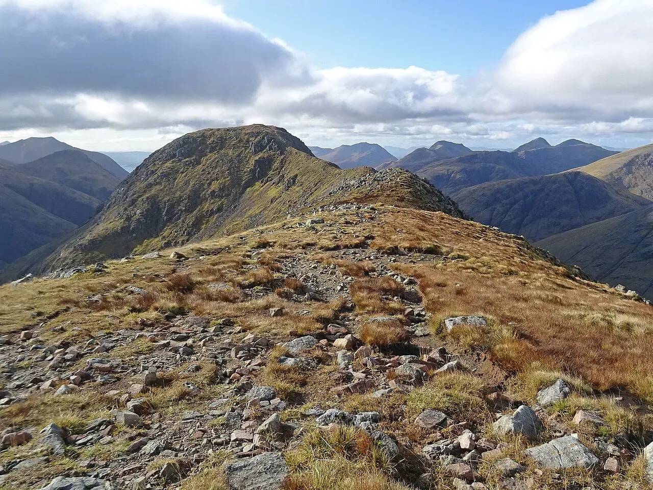
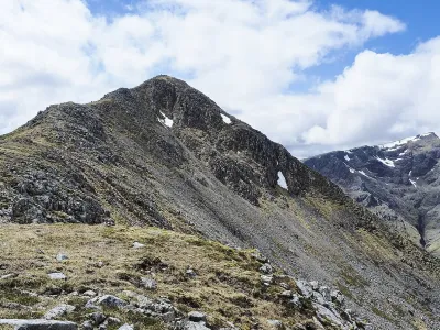
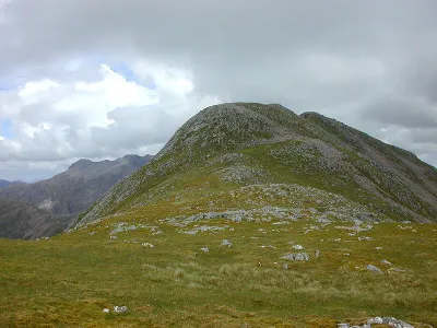
Stob na Bròige stands proudly at the Glen Etive terminus of the iconic Buachaille Etive Mòr. Elevated to the status of a separate Munro in 1997, this peak has since become a must-visit for avid munro baggers. The reclassification encourages enthusiasts to undertake a full traverse of the ridge, offering a more comprehensive and rewarding hiking experience. The journey across the ridge not only provides a sense of accomplishment but also treats hikers to breathtaking vistas and a deeper connection with the rugged beauty of the Scottish Highlands.
Where is Stob na Broige?
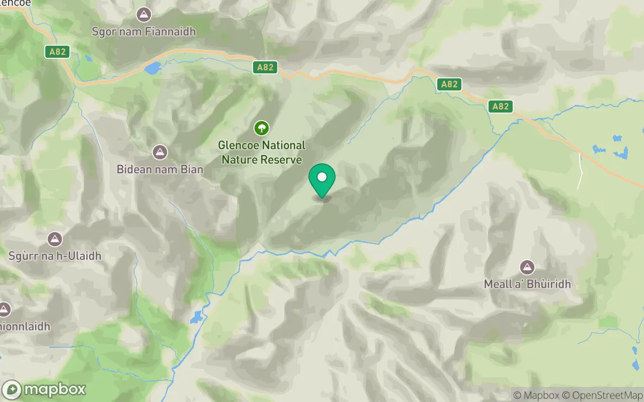
Stob na Broige sits in the Loch Linnhe to Loch Etive region of Fort William at 56.6299°N, 4.9512°W.
Key facts
| Height | 953 metres / 3,128 feet |
|---|---|
| Rank by height | 210 of 282 Munros |
| Coordinates | 56.62988, -4.95116 |
| Group | Buachaille Etive Mor |
| Area | Fort William |
| SMC section | 03B: Loch Linnhe to Loch Etive |
Plan your climb
Check the forecast and daylight before you go — the 282 app shows a 7-day summit forecast for Stob na Broige.
Commonly climbed with
Munros close to Stob na Broige that baggers often combine in a single day or trip.

Track Stob na Broige in the 282 app
Log your summits, see them all on the map, earn badges and share photos with fellow baggers. Free on iOS and Android.
Open in the app